About us
Real places, raised in 3D.
We make framed 3D maps of the places people care about: a first home, a home course, a race they ran. You design it; we print it, frame it and ship it.
How a tile is made
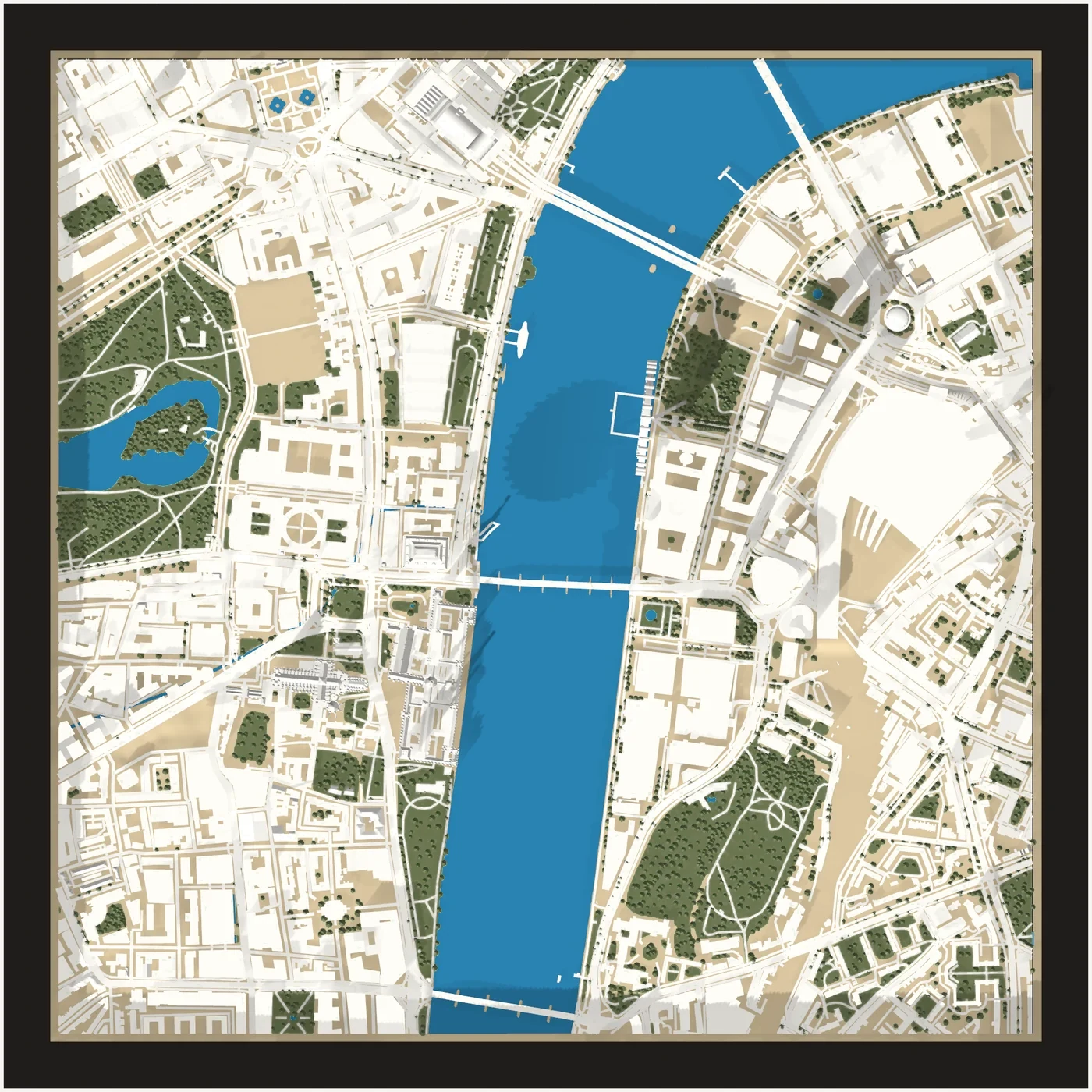
Real map data
Streets, buildings, parks and water come from OpenStreetMap, a map made by millions of people. The shape of the land comes from open elevation data.
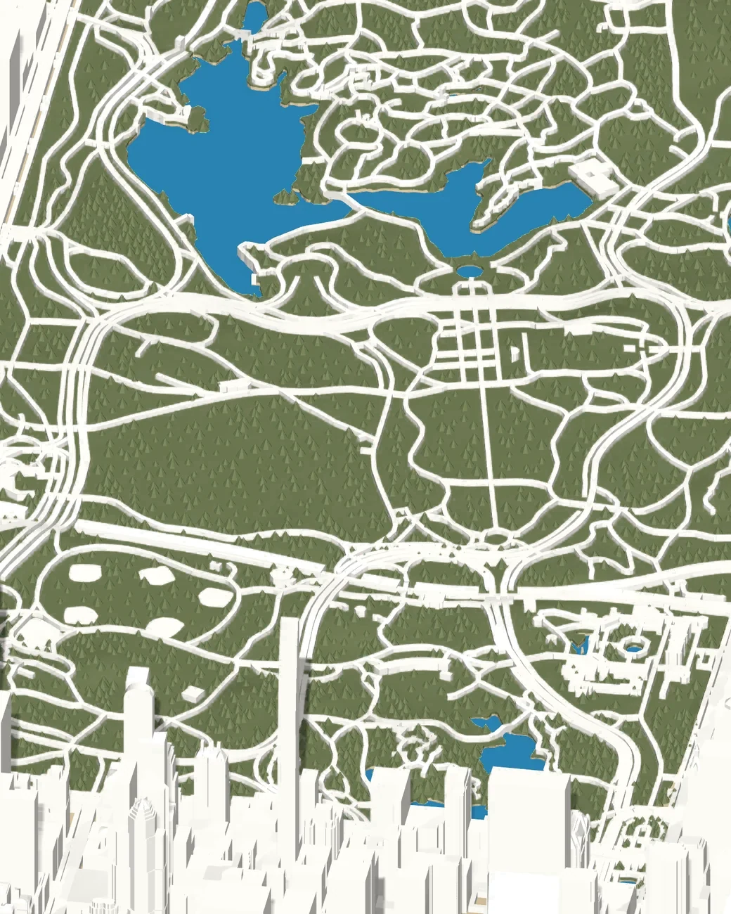
At their real height
Our software raises every building on the same scale as the land, so towers stand tall and houses sit low.
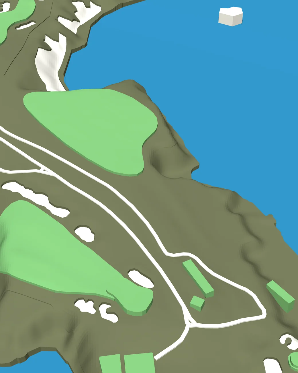
Printed in color
Each tile is printed in 3D, layer by layer, in up to five colors, then framed in black or white.
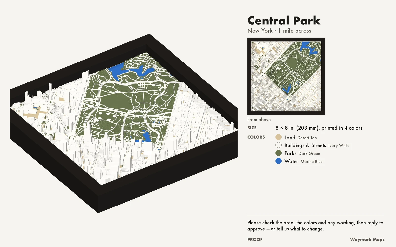
Nothing prints until you approve it.
Before we print, we send a proof of your exact tile. If the area or a detail looks wrong, tell us and we'll send a new one.
Our shop is on Etsy. You design here, then order there with your design code; proofs and questions go through Etsy messages.
Where the data comes from
Map data © OpenStreetMap contributors, available under the Open Database License.
Elevation from Mapzen Terrain Tiles, built from SRTM, USGS 3DEP and other public sources.
Golf courses come from OpenStreetMap; race routes come from public route files.
Start witha place.
Search for a place and see it in 3D in about a minute. Nothing is printed until you approve the proof.