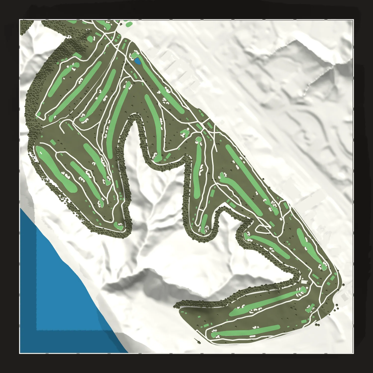
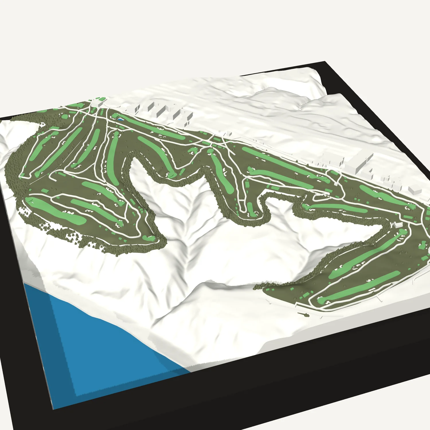
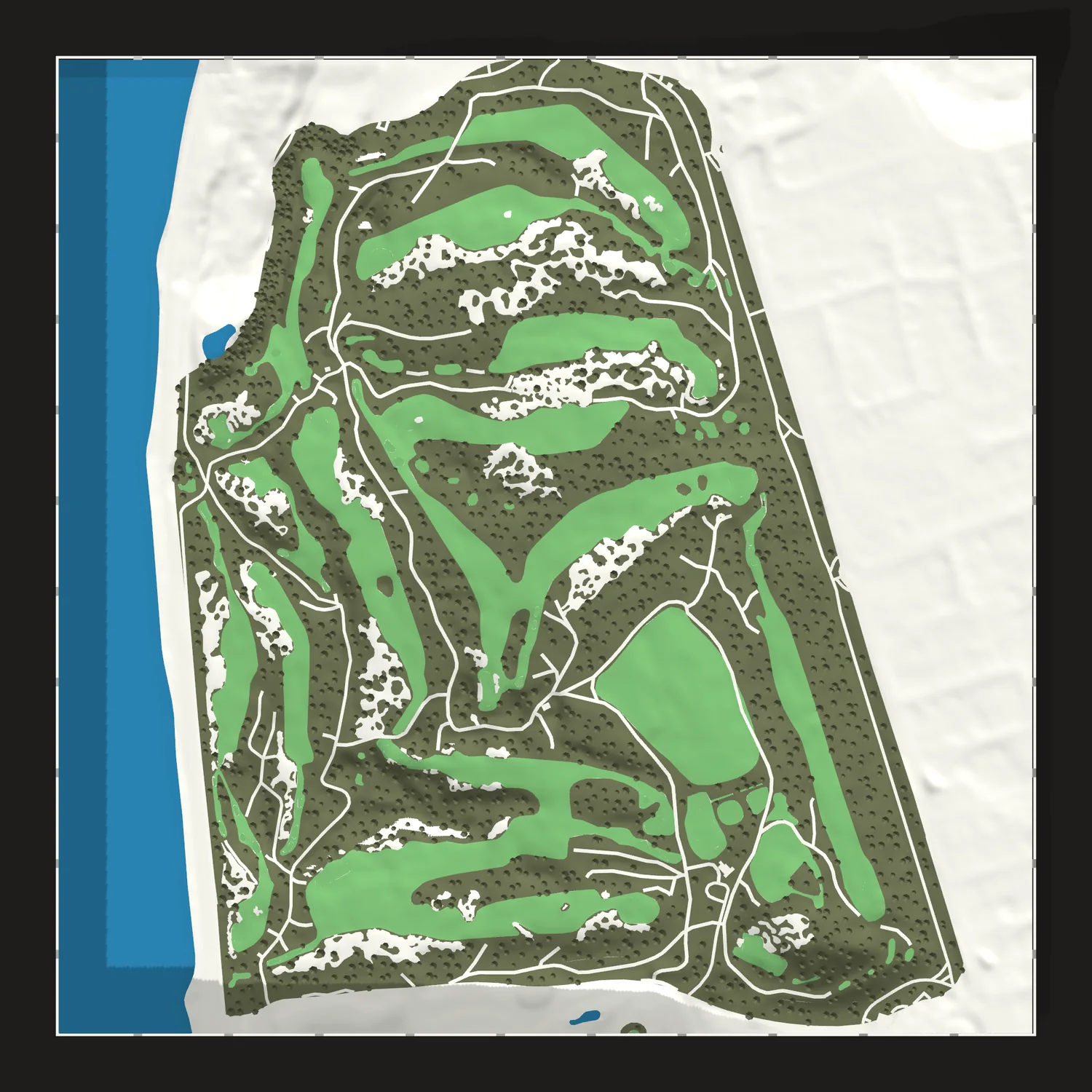
Torrey Pines South Course map
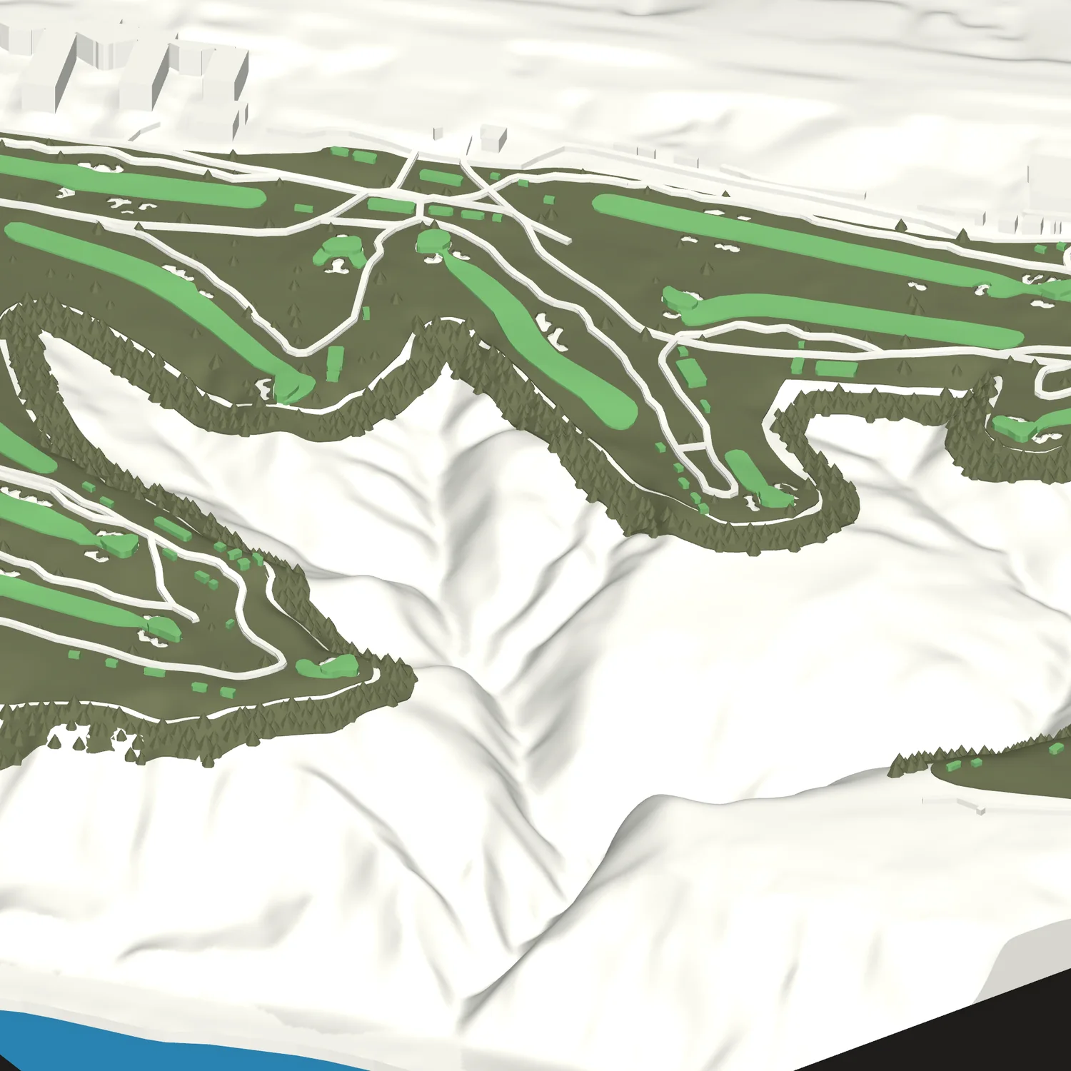
The South Course on the cliffs above the Pacific, with every fairway, green, bunker and canyon raised in 3D.
Size
Frame
We copy this map's code for you to paste into your Etsy order.
Make it yoursChange the colors. We send a proof first.
- Framed in black or white wood, to hang or stand
- About 9¼ or 12 in square in its frame
- Free shipping in the US
The course
Torrey Pines sits on the coastal cliffs above the Pacific in La Jolla, just south of Torrey Pines State Natural Reserve, on the site of Camp Callan, a World War II army post. The city-owned course opened in 1957, designed by William P. Bell and finished by his son, William F. Bell. Rees Jones remodeled the South Course in 2001. The cliffs come into play at the 4th, canyons edge the 14th and 17th, and a pond guards the green at the par-5 18th.
- Holes
- 18, par 72
- Architects
- William P. and William F. Bell
- Opened
- 1957
- Hosted
- U.S. Open, 2008 and 2021
- Size
- 8 × 8 or 11 × 11 in
About 9¼ or 12 in framed - Frame
- Black or white wood, to hang or stand
- Colors
- Map colors
- Proof
- Not needed for this map. Change anything and we send one first.
- Shipping
- Free in the US
Not affiliated with or endorsed by the City of San Diego. We use the course's name only to say which course this map shows.
Questions
Can I change it?
Yes. Make it yours opens this map in the designer, where you can change the colors. We send a proof before we print a changed map.
Why is there no proof?
We've already built and checked this map's print file, so we print exactly what you see here.
Can it be a gift?
Yes. Ship it straight to them; the tile carries no price or receipt.
Your homecourse?
Design any course in about a minute. Nothing is printed until you approve the proof.
Design a golf tile