04
Landmarks, by hand
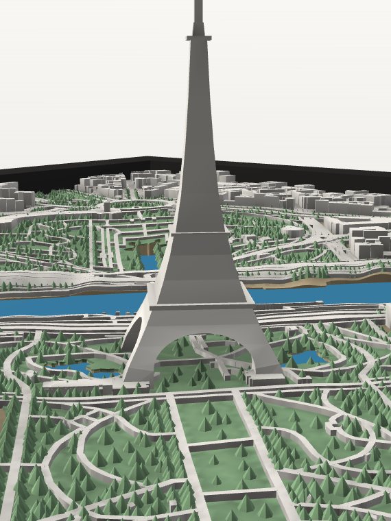
Some landmarks are too intricate for map data alone. We model those by hand from photographs and published dimensions.
Free shipping in the US

How we check every map
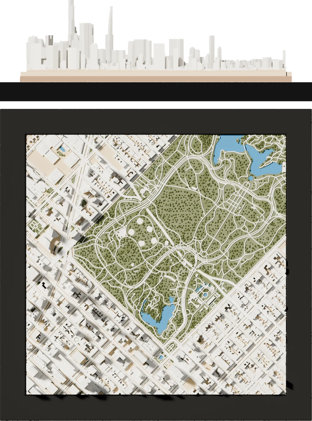
Every Waymark map goes through TopoCheck before we print it. We hold it up against the real place, building by building, and fix anything that doesn't match. It's how a map of your street ends up looking like your street.
60 million+
data points behind our ready-made maps
Elevation surveys, building outlines and heights, measured for each map and checked before anything prints.
01
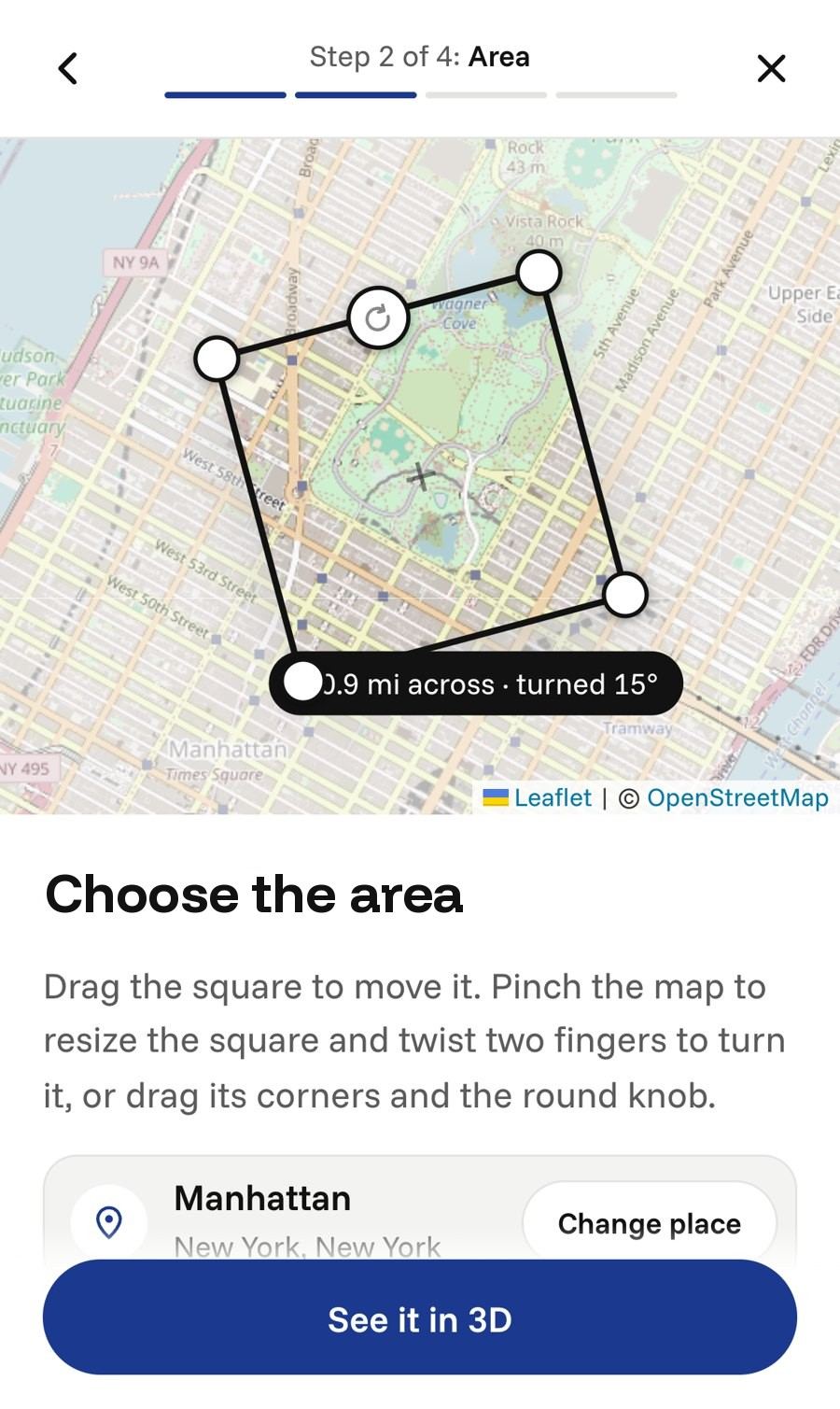
We start with detailed map data for the area you choose, down to the outline of each building.
Then TopoCheck holds that data up against the real place.
02
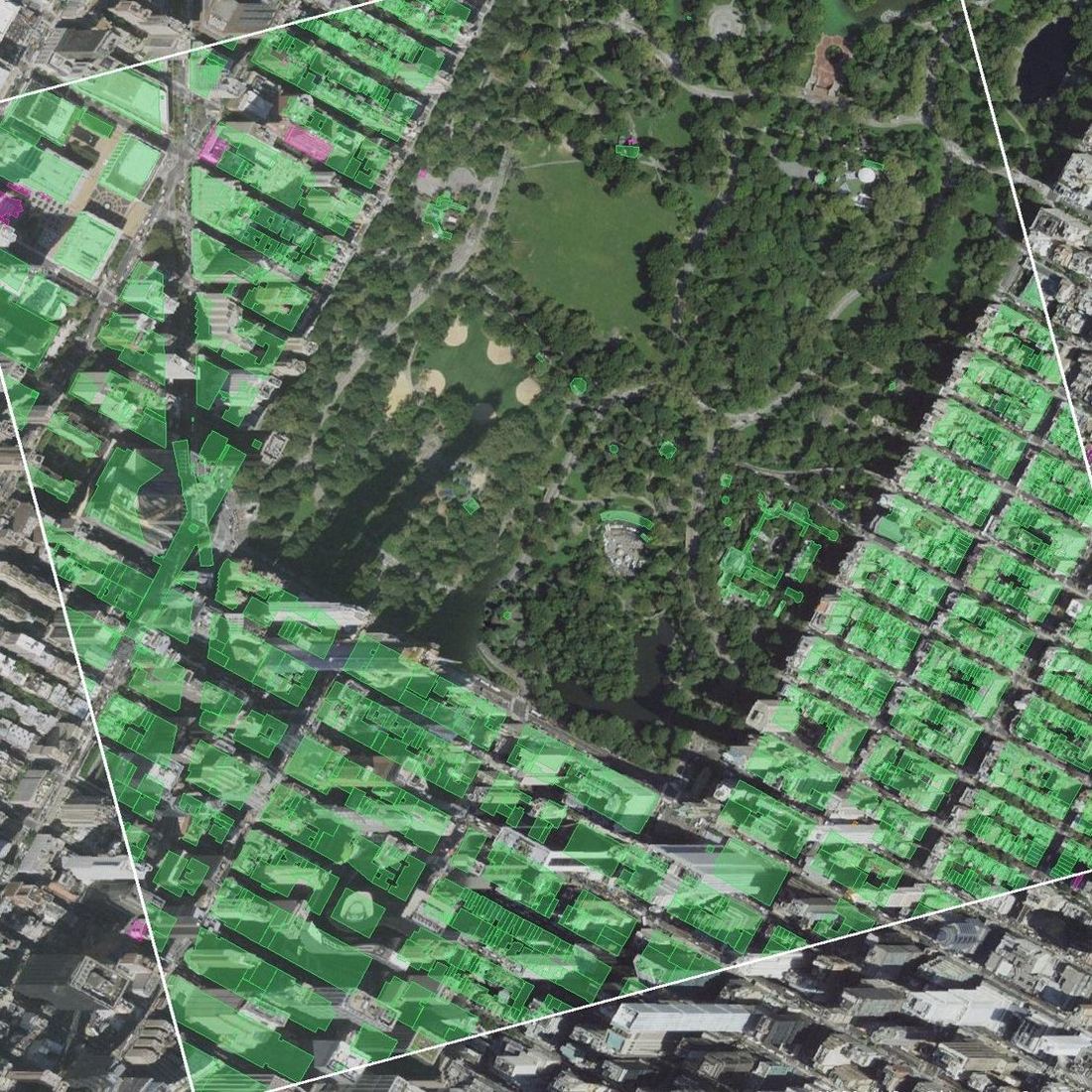
We compare every building with a second, independent building survey and, where we can, with aerial photos of the real place. Anything missing or out of place gets a closer look.
03
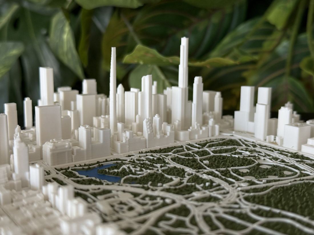
Building heights come from survey and building records, and the tallest towers are checked against their published heights. The towers you know still stand tallest.
Every building is raised in the same proportion to give the skyline presence from across the room.
04
Some landmarks are too intricate for map data alone. We model those by hand from photographs and published dimensions.
05
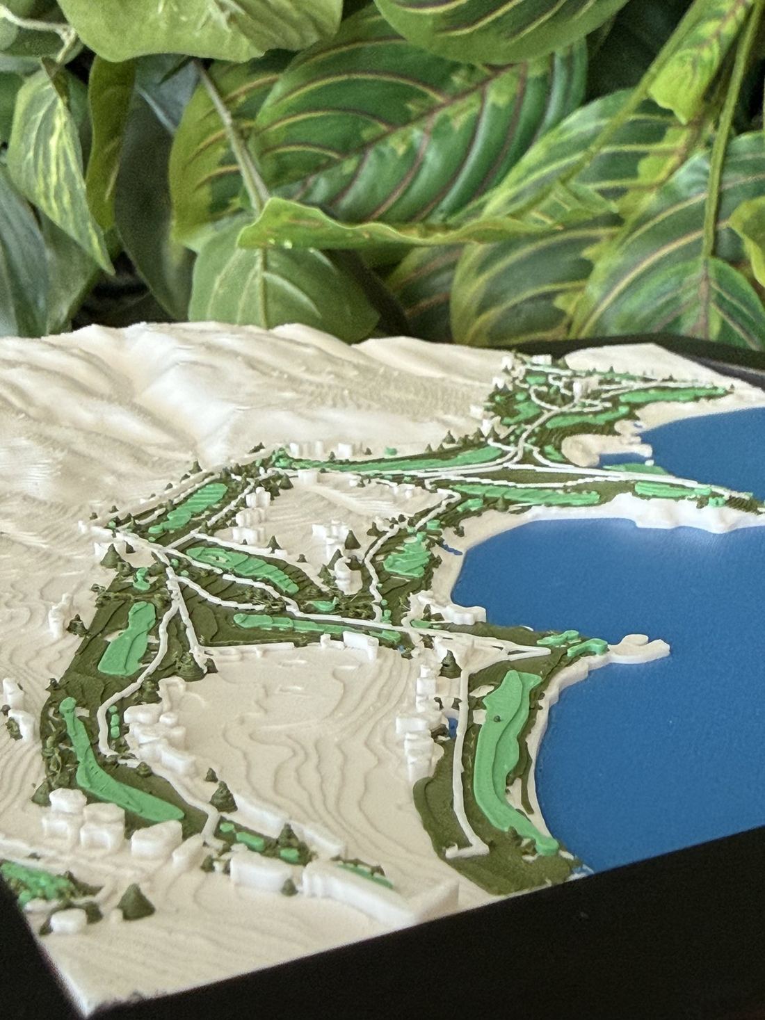
Your hills are on the map too, shaped from detailed elevation surveys.
06
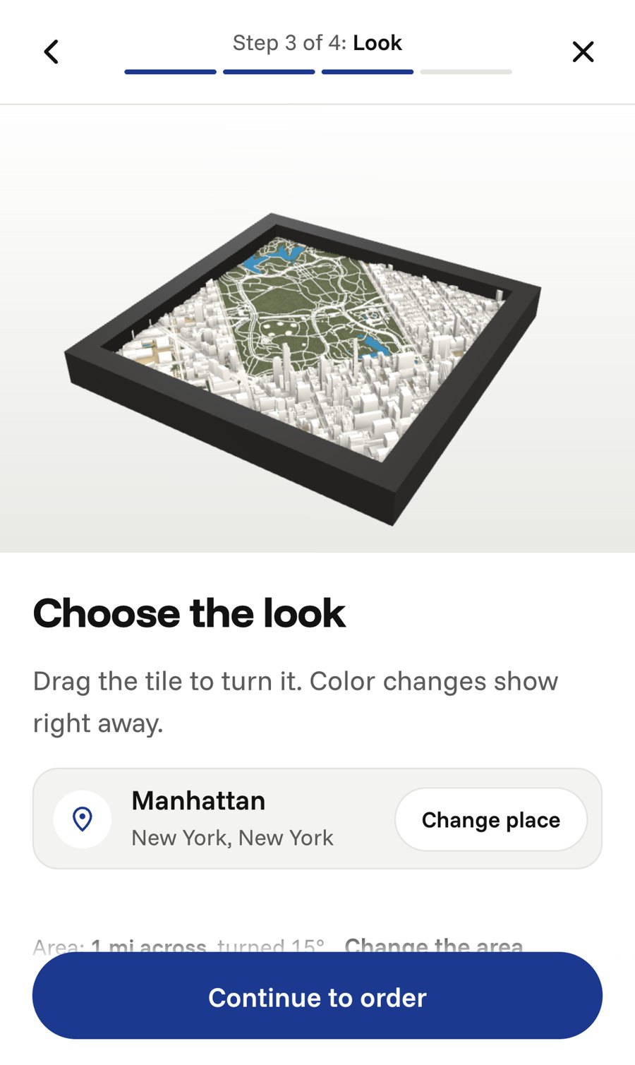
Every custom map comes to you as a proof first. Approve it, or ask for a change and we'll send a new one.
Framed in black or white wood. 8 in $65, 11 in $105, with free shipping in the US.