Free shipping in the US

Parks and mountains
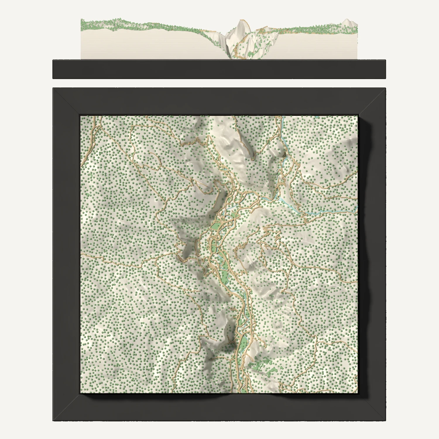
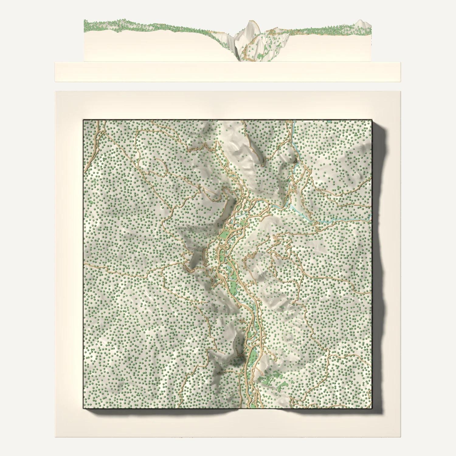
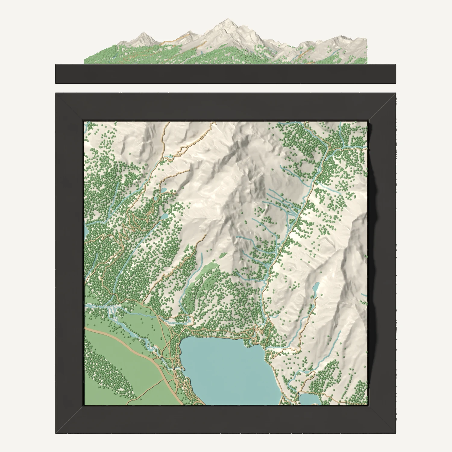
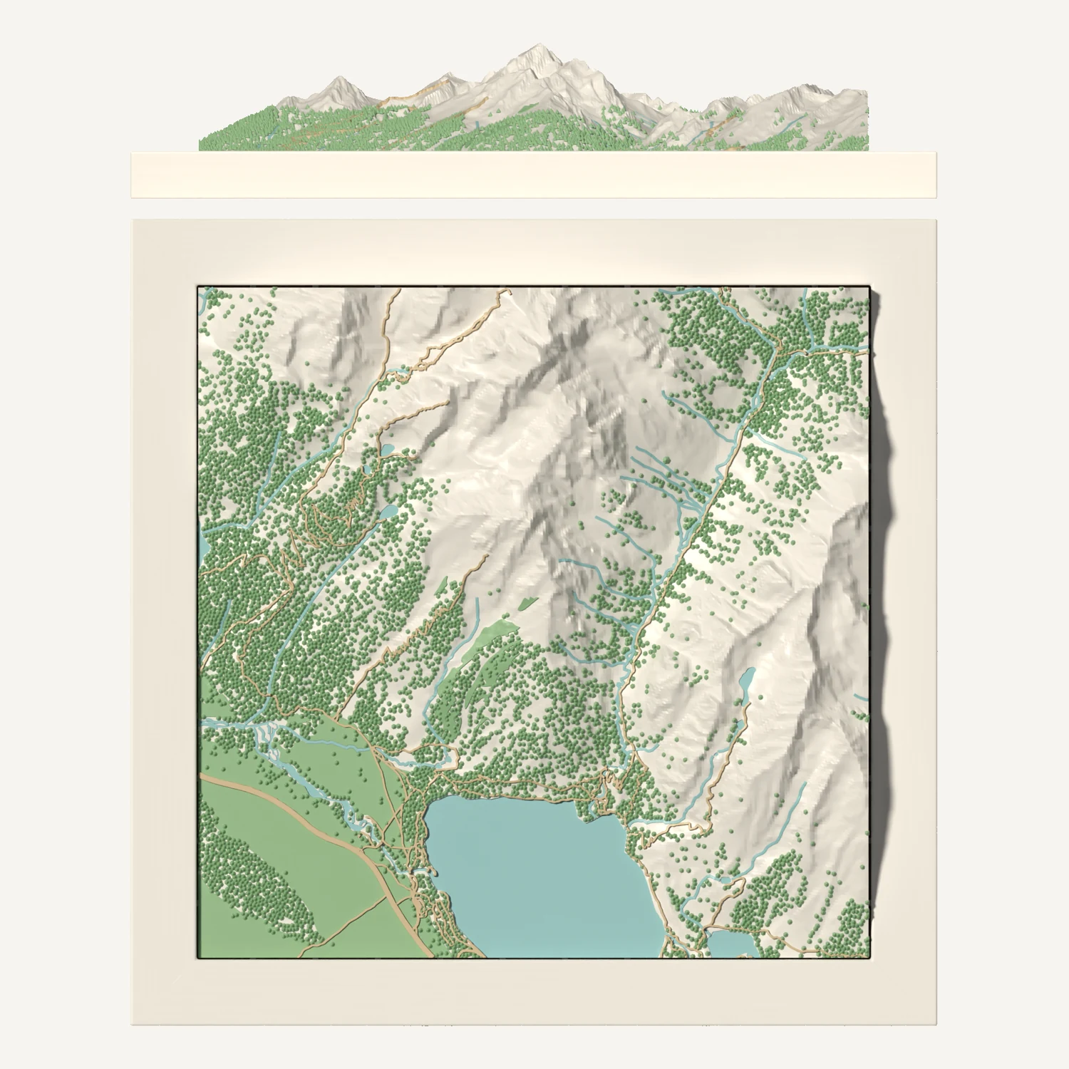
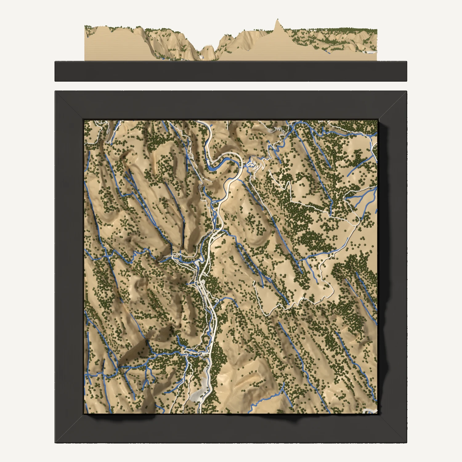
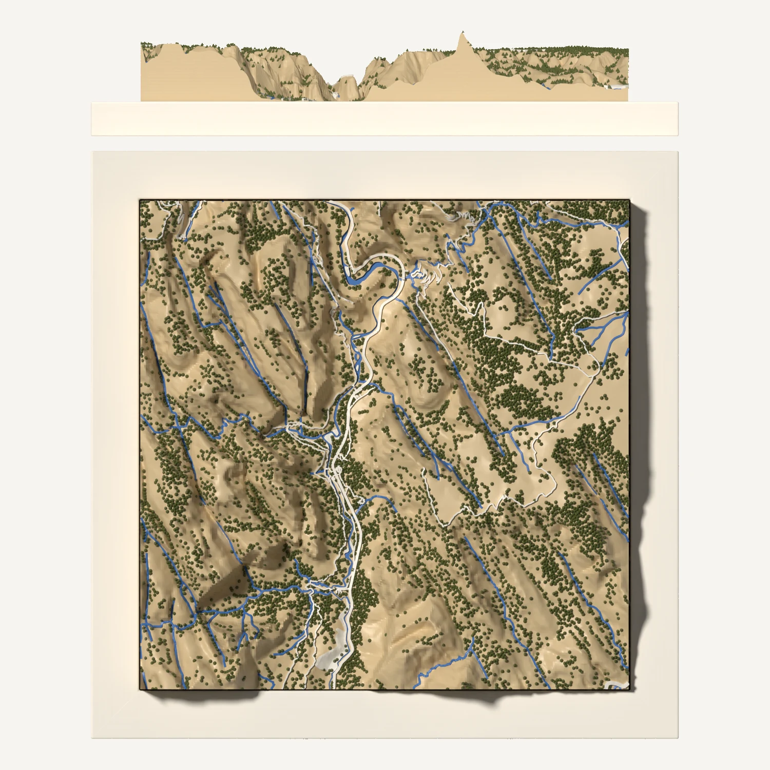
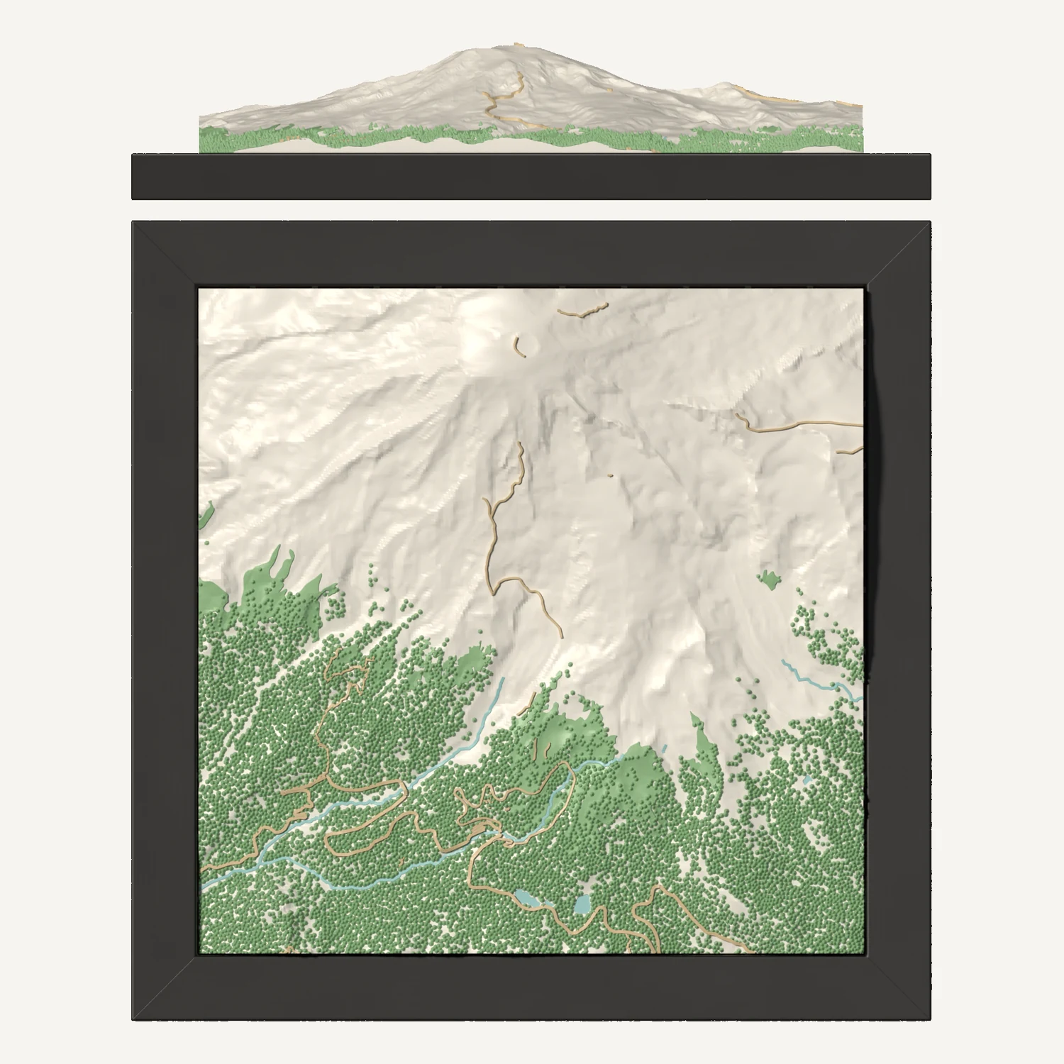
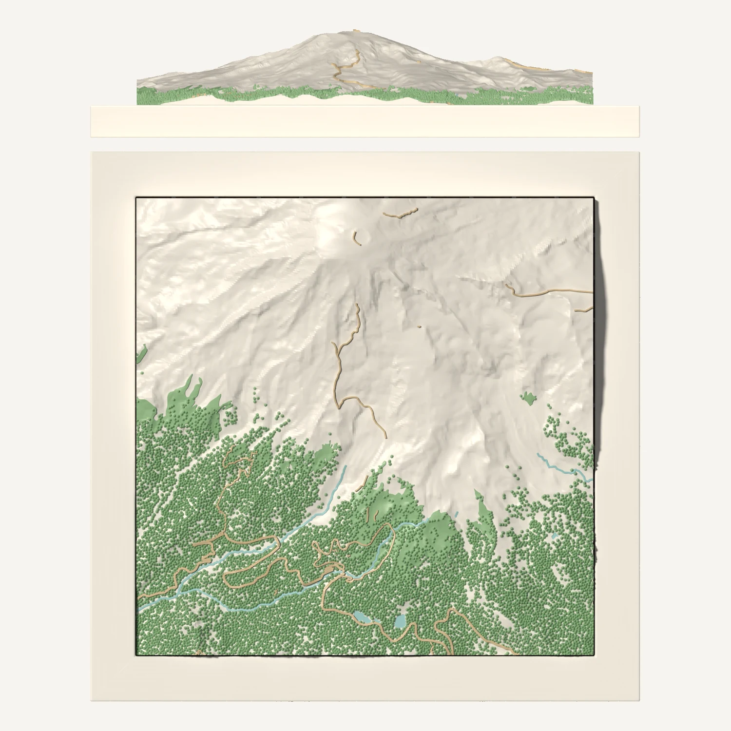
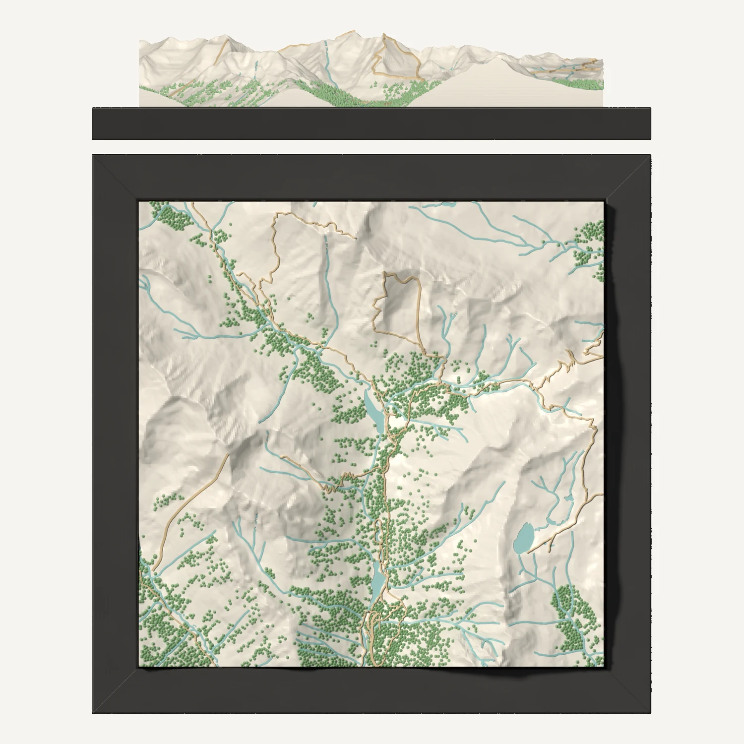
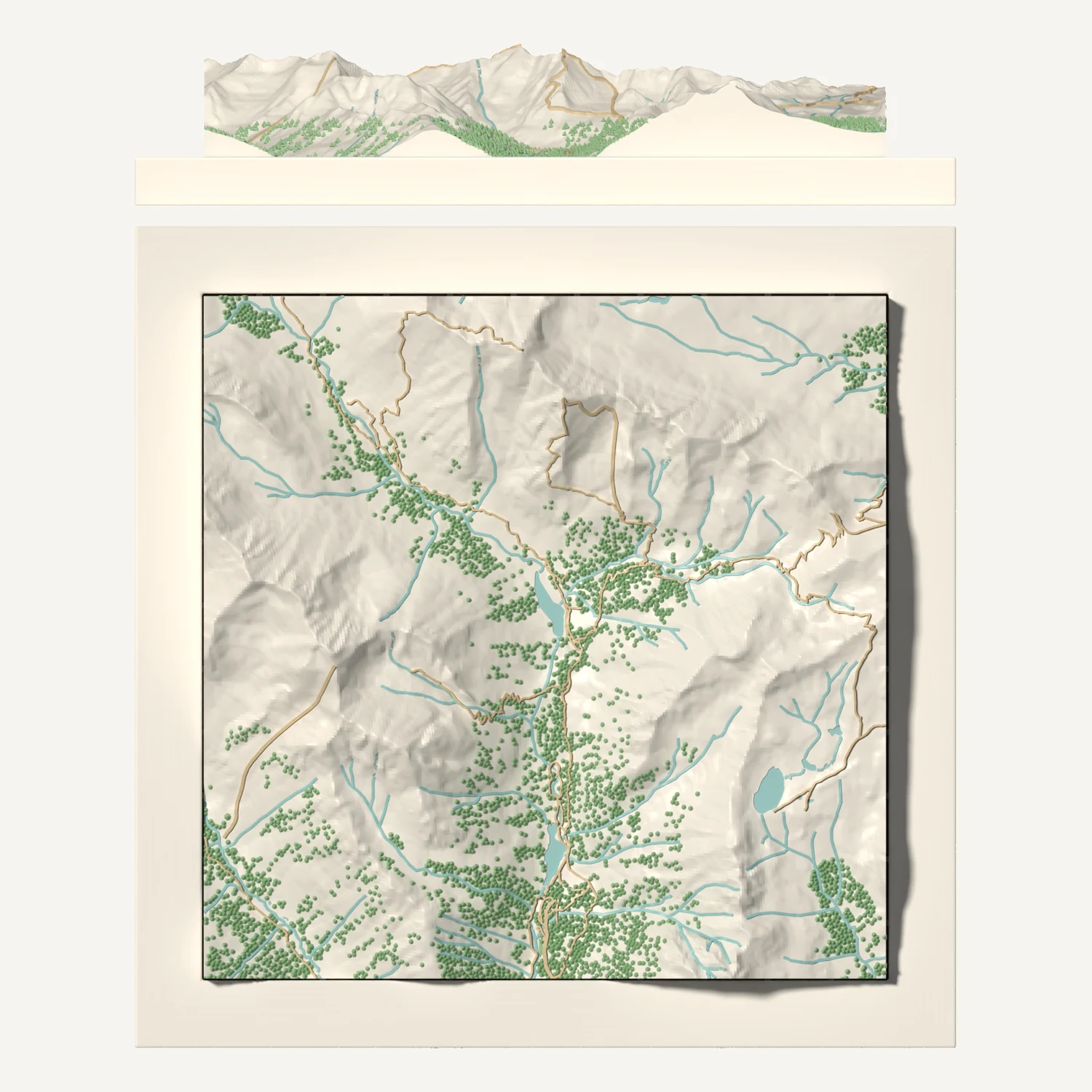
National parks and mountains, each turned to its best-known view, with forests, lakes and trails raised in 3D. Order one as it is, or customize it.
Each map is turned so the famous view faces you: the lake or trailhead at the front, the peaks at the back. Forests print as trees, and lakes, rivers and trails are raised in 3D, built from public map and elevation data.
Hiked somewhere else, or want a wider view? Open the map in the designer and move it. We send a proof before we print a changed map.
Have another question? Contact us
No. These are our own maps, made from public map data. We are not affiliated with the National Park Service or the Forest Service.
Trails on the map are drawn from public map data. Open it in the designer to move or turn the area, and tell us what you hiked.
Any place, framed in 3D. We email you a proof before we print.