Free shipping in the US

$65Free shipping in the US
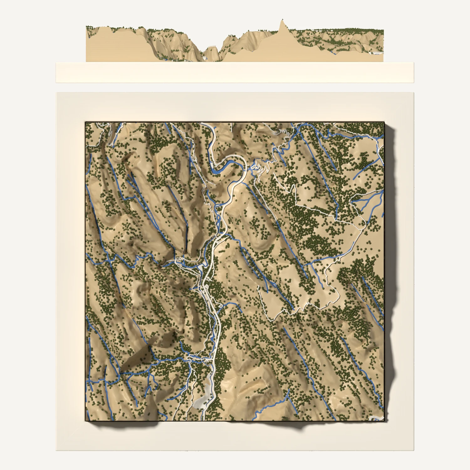
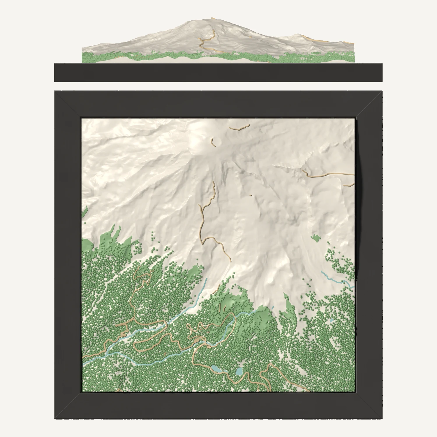
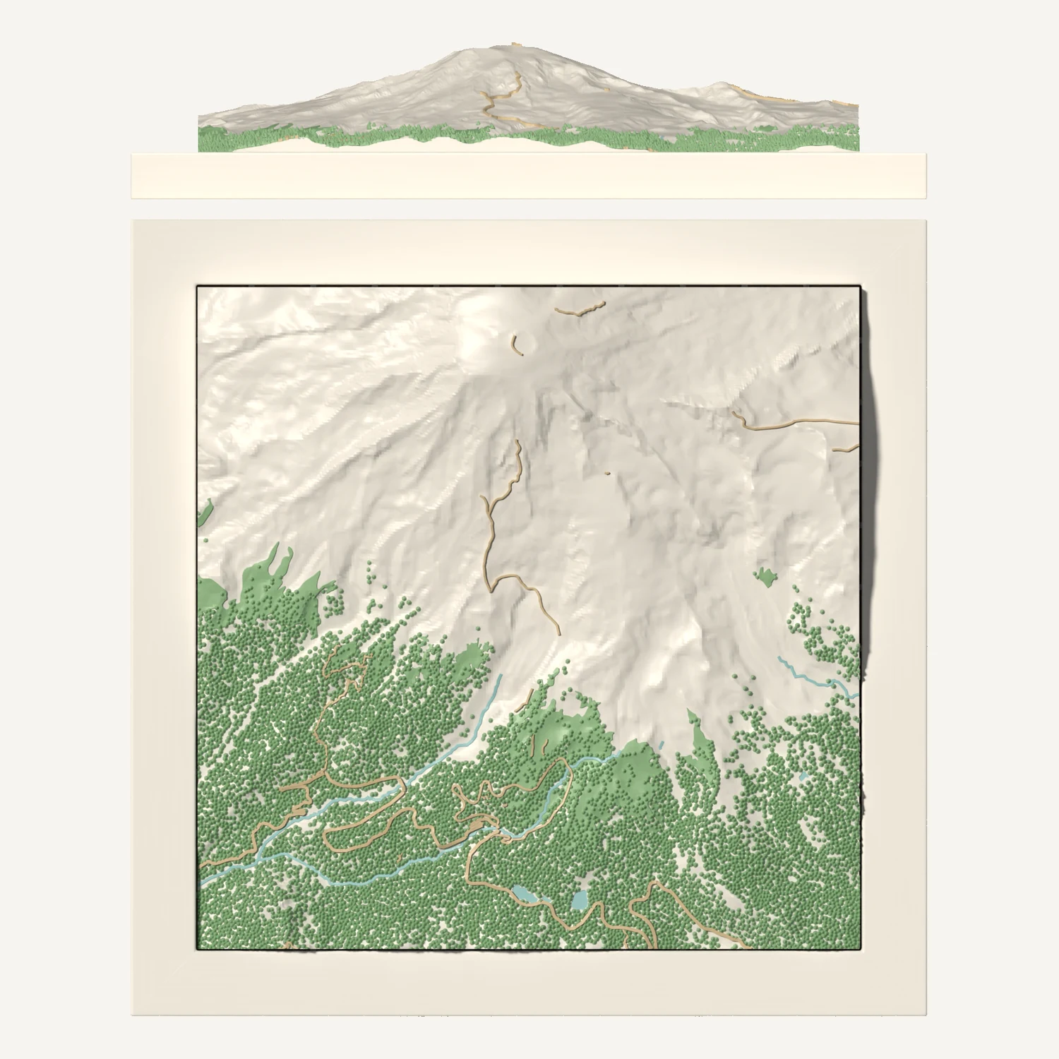
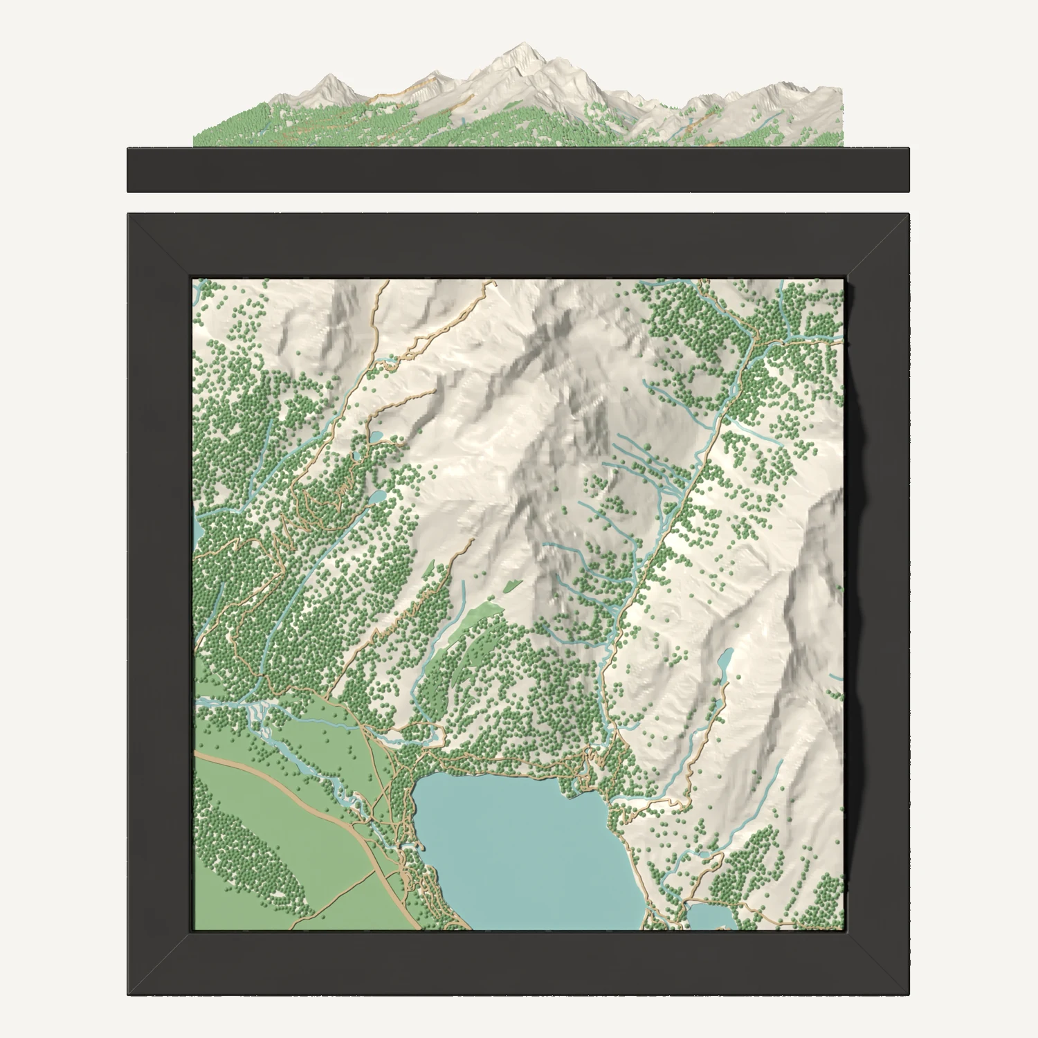
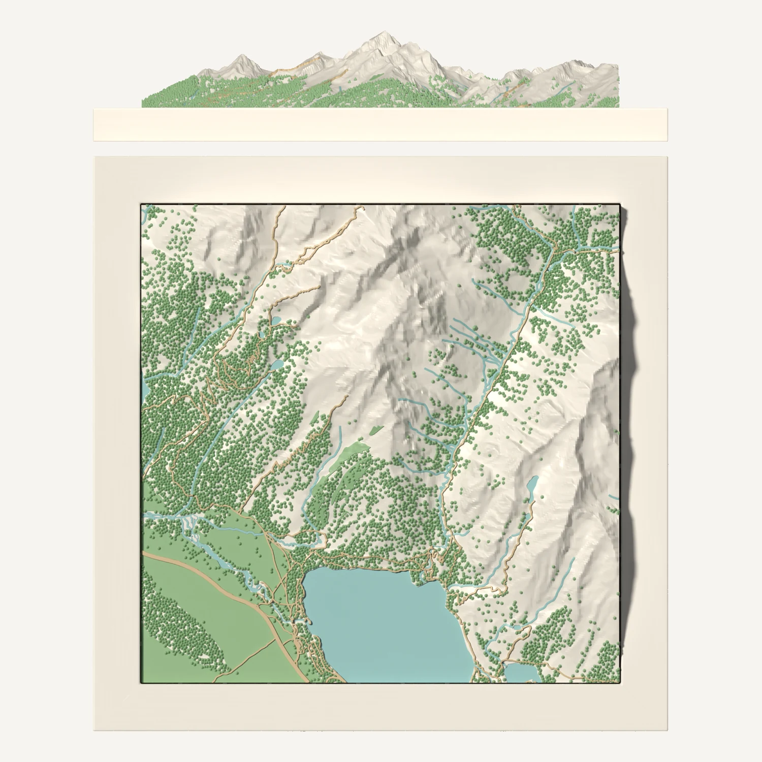
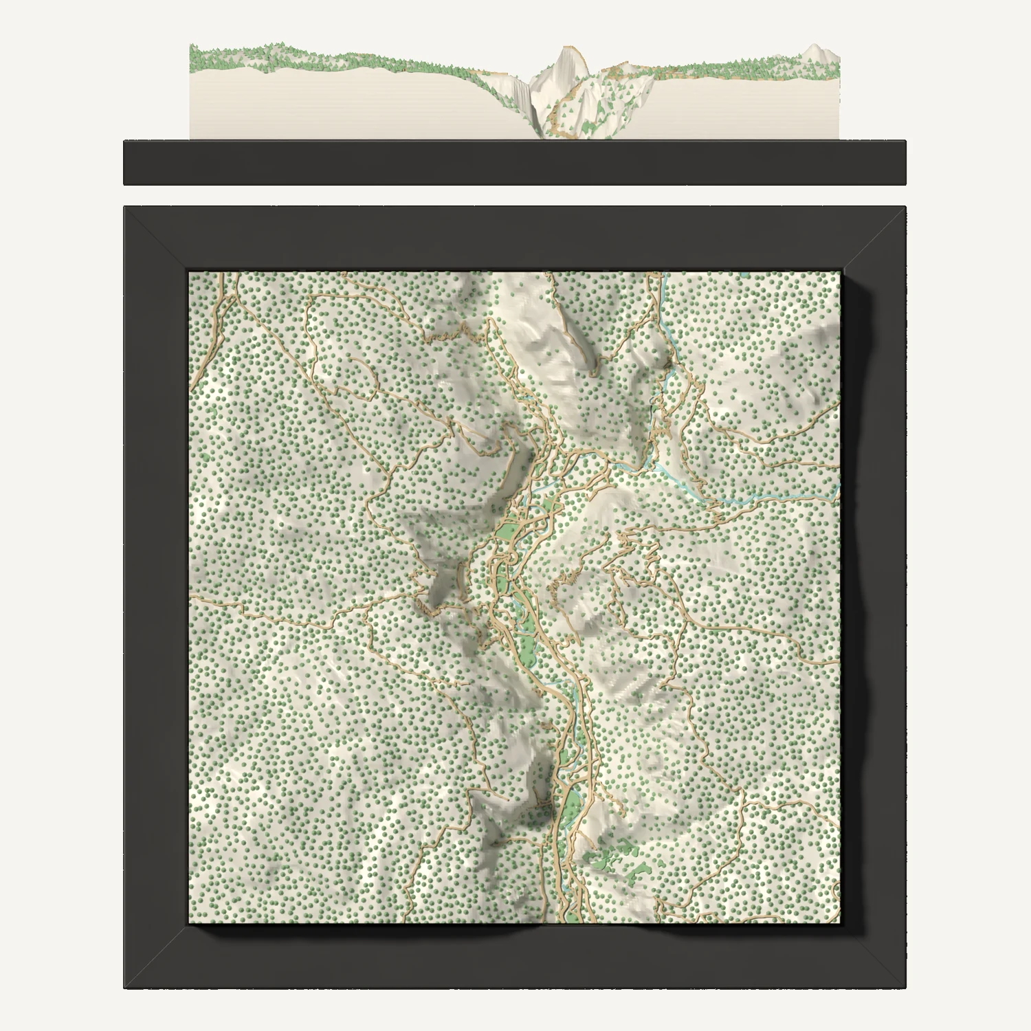
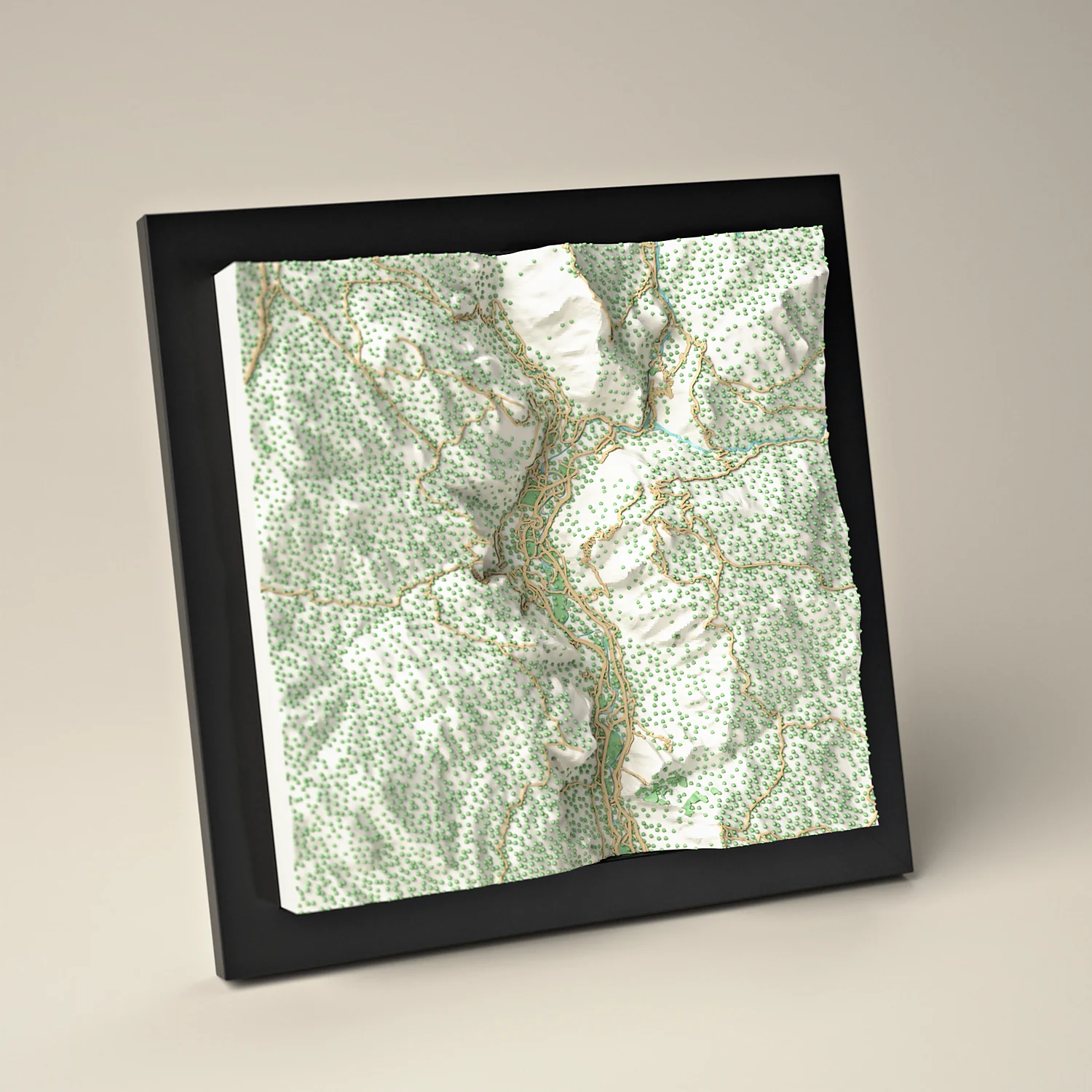
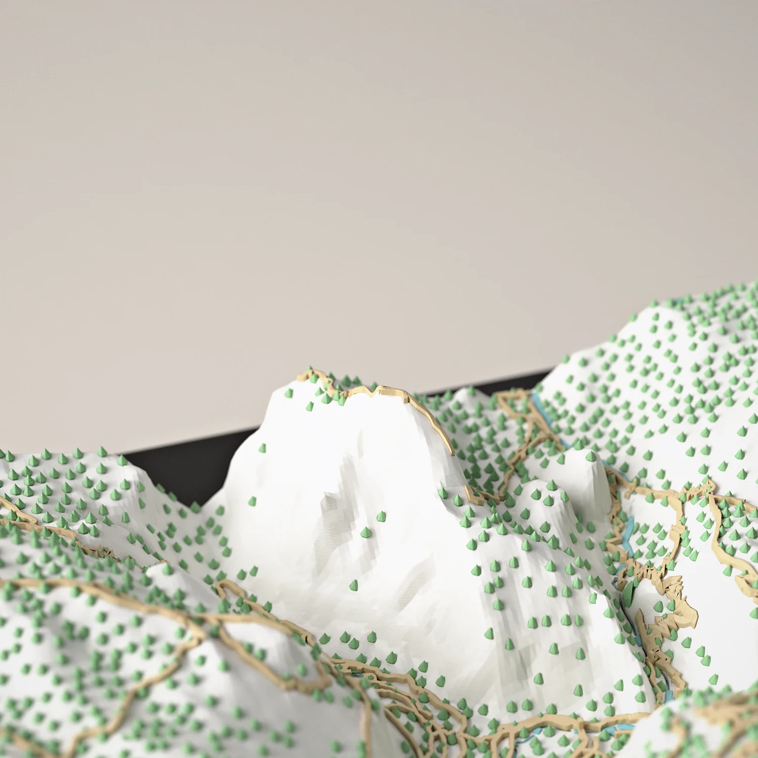
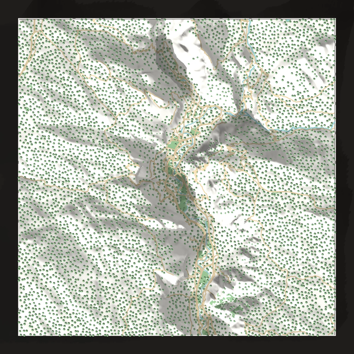
El Capitan, Yosemite Falls and Half Dome, raised in 3D and turned to look east up Yosemite Valley.
 Printed and framed to order in our studio.
Want a different area or colors? Customize it.
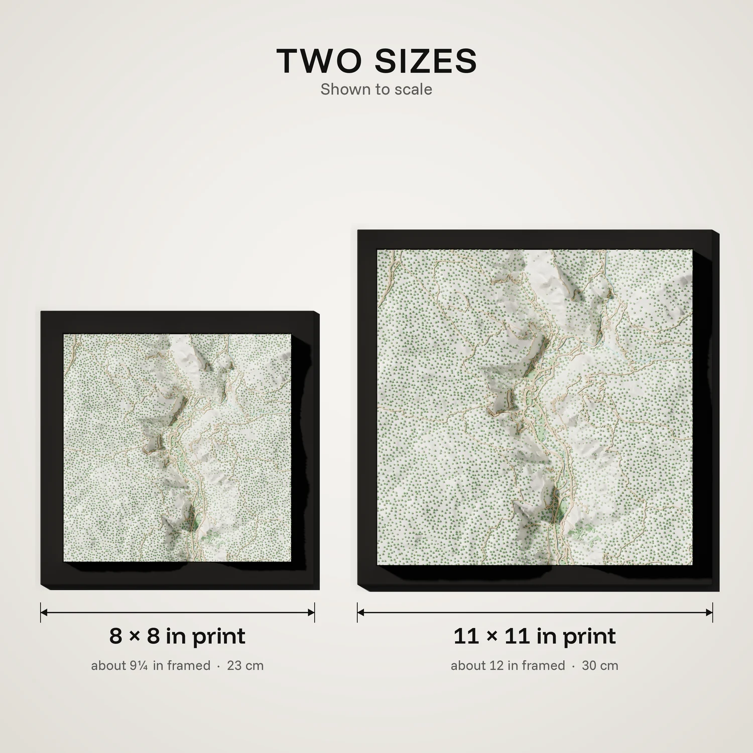
The map is 8 or 11 inches square, about 9¼ or 12 inches in its frame.
We ship 1–3 days after your order and email you tracking. Order today and it ships by soon.
Free in the US. For other countries, order through our Etsy shop.
To change the area, start a design from this map. Custom maps get a proof before they print.
Enter their address at checkout and add a note for the card. Gift orders ship without an invoice.
Wrapped in tissue paper and thin foam and packed securely, with a handwritten card in the box. Dust it with a soft, dry brush and keep it out of direct sunlight.
The tile looks east up Yosemite Valley. Near the front, El Capitan rises 3,593 feet from its base on the left. Bridalveil Fall drops 620 feet from the opposite wall on the right. Farther back on the left, Yosemite Falls comes down the north wall, its upper fall 1,430 feet tall. Glacier Point sits on the right rim, 3,214 feet above the floor. Half Dome, at 8,842 feet, closes the view at the back, with Mount Starr King in the back right corner.
Not affiliated with or endorsed by the National Park Service. Yosemite National Park is a name or trademark of its owner, and we use it only to say which place this map shows.
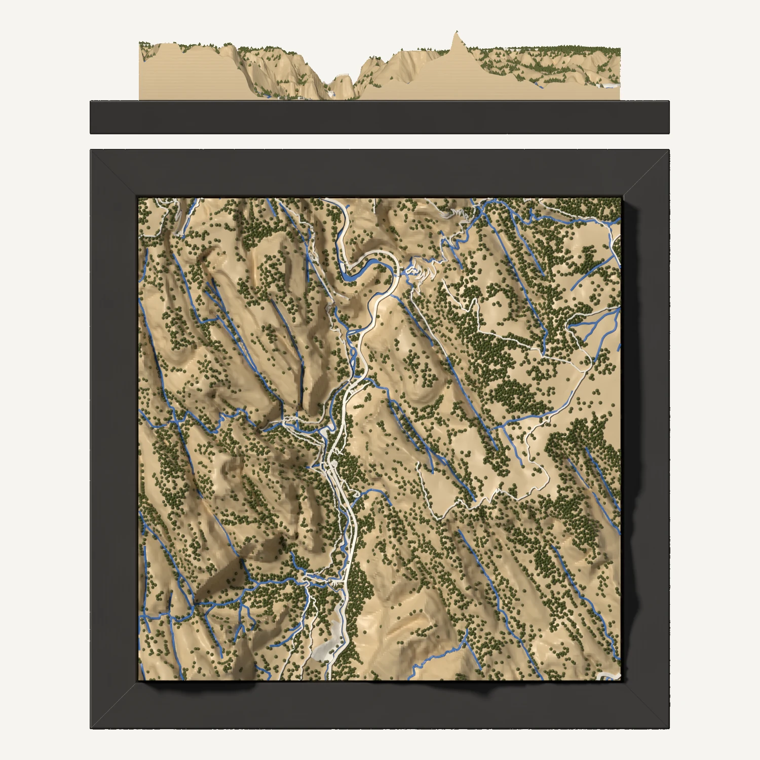
Add a few maps to your cart and you'll see them side by side before you check out. They ship together, and each one keeps its own size and frame.
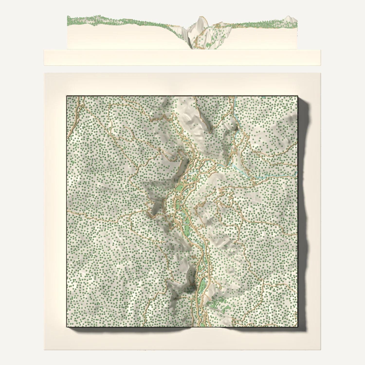
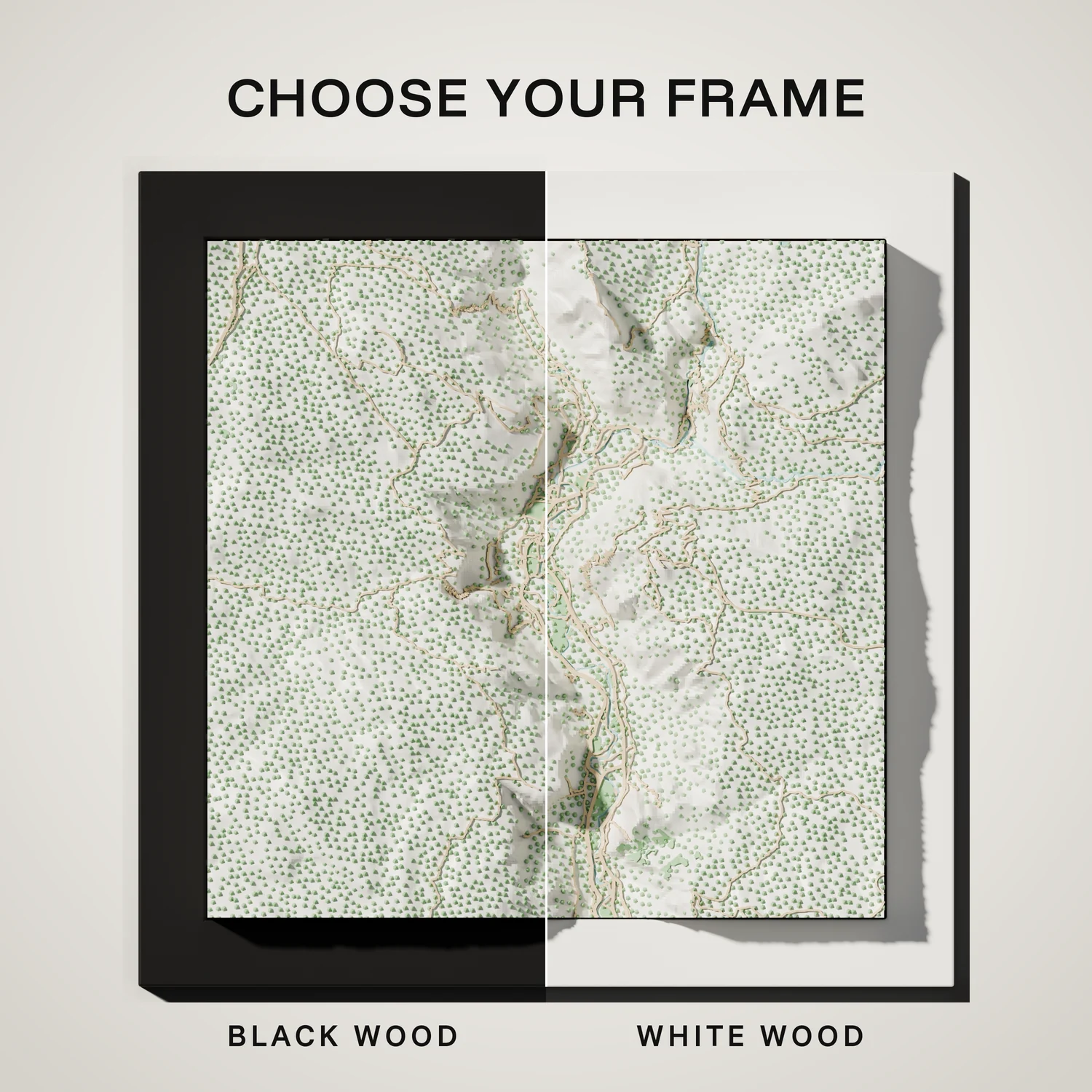
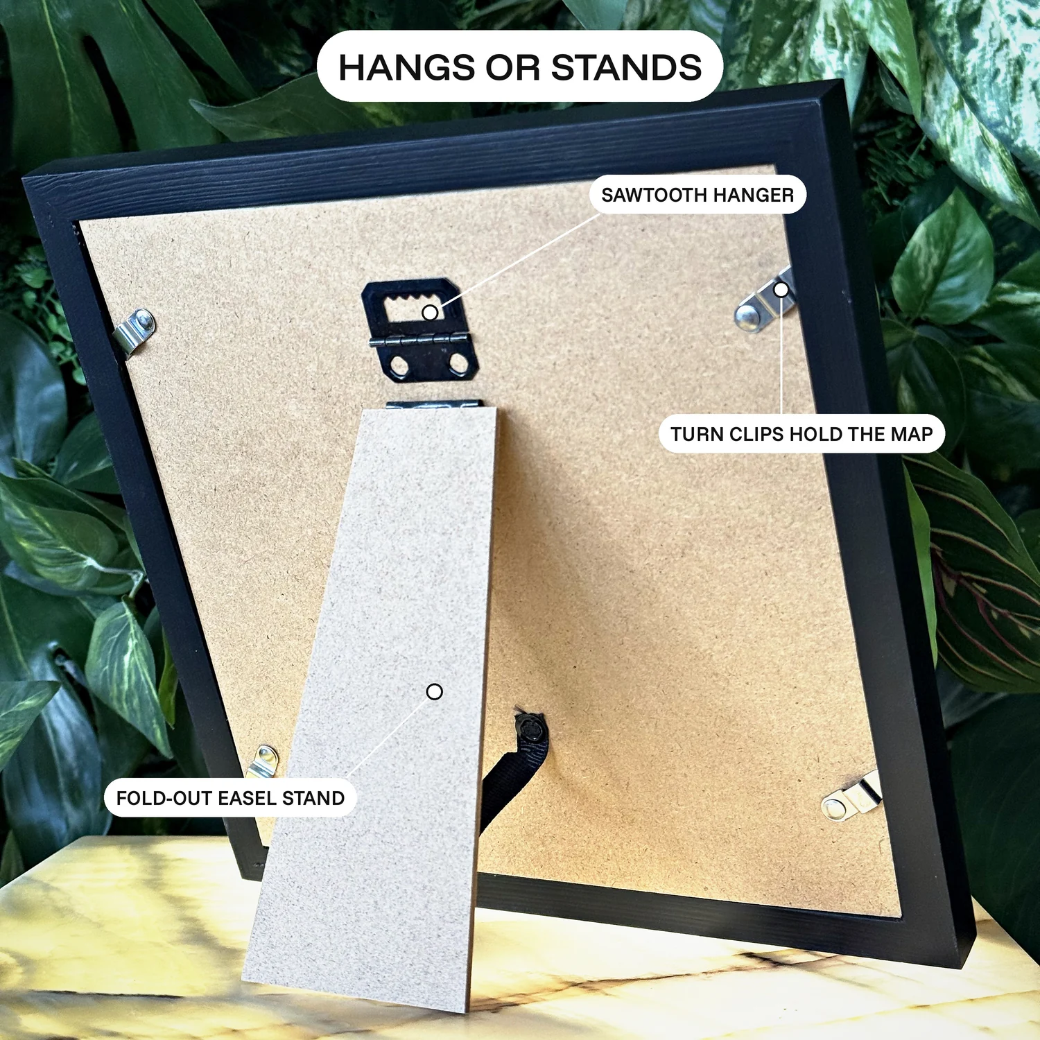
Black or white wood. The map is 8 or 11 inches square, about 9¼ or 12 inches in its frame, and hangs on a wall or stands on a shelf.
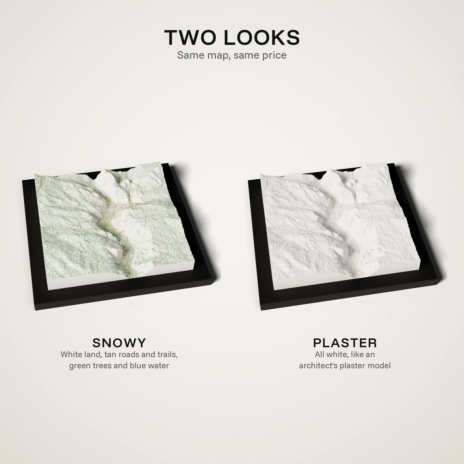
Map colors: white land, tan roads and trails, green trees, blue water.
Have another question? Contact us
Yes. Customize it opens this map in the designer, where you can move or turn the area or change the colors. We send a proof before we print a changed map.
We've already built and checked this map's print file, so we print exactly what you see here.
Yes. Ship it straight to them. The tile carries no price or receipt.