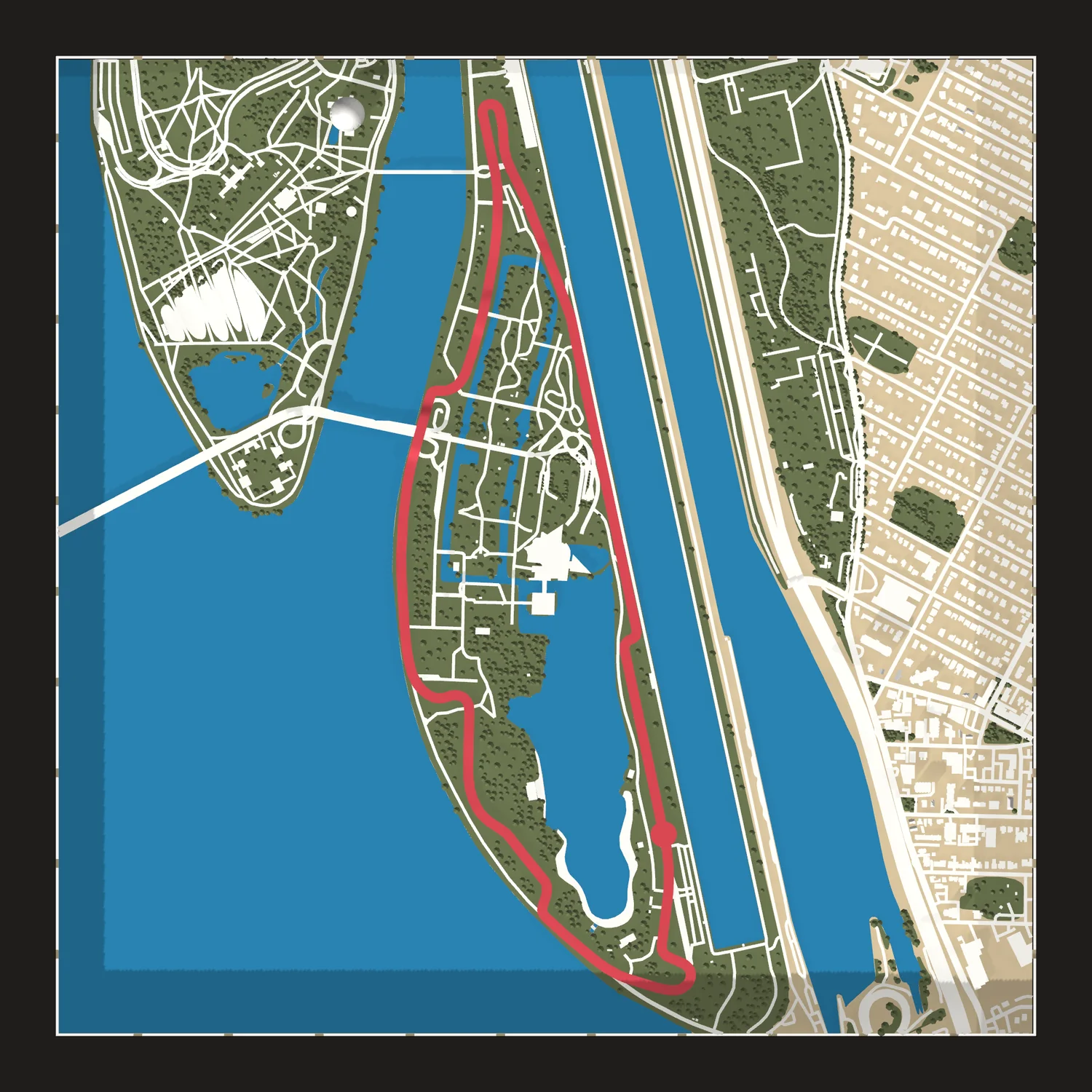
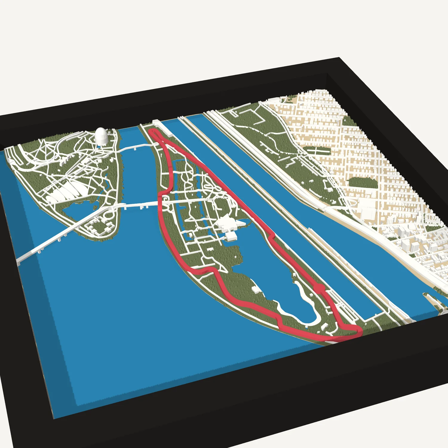
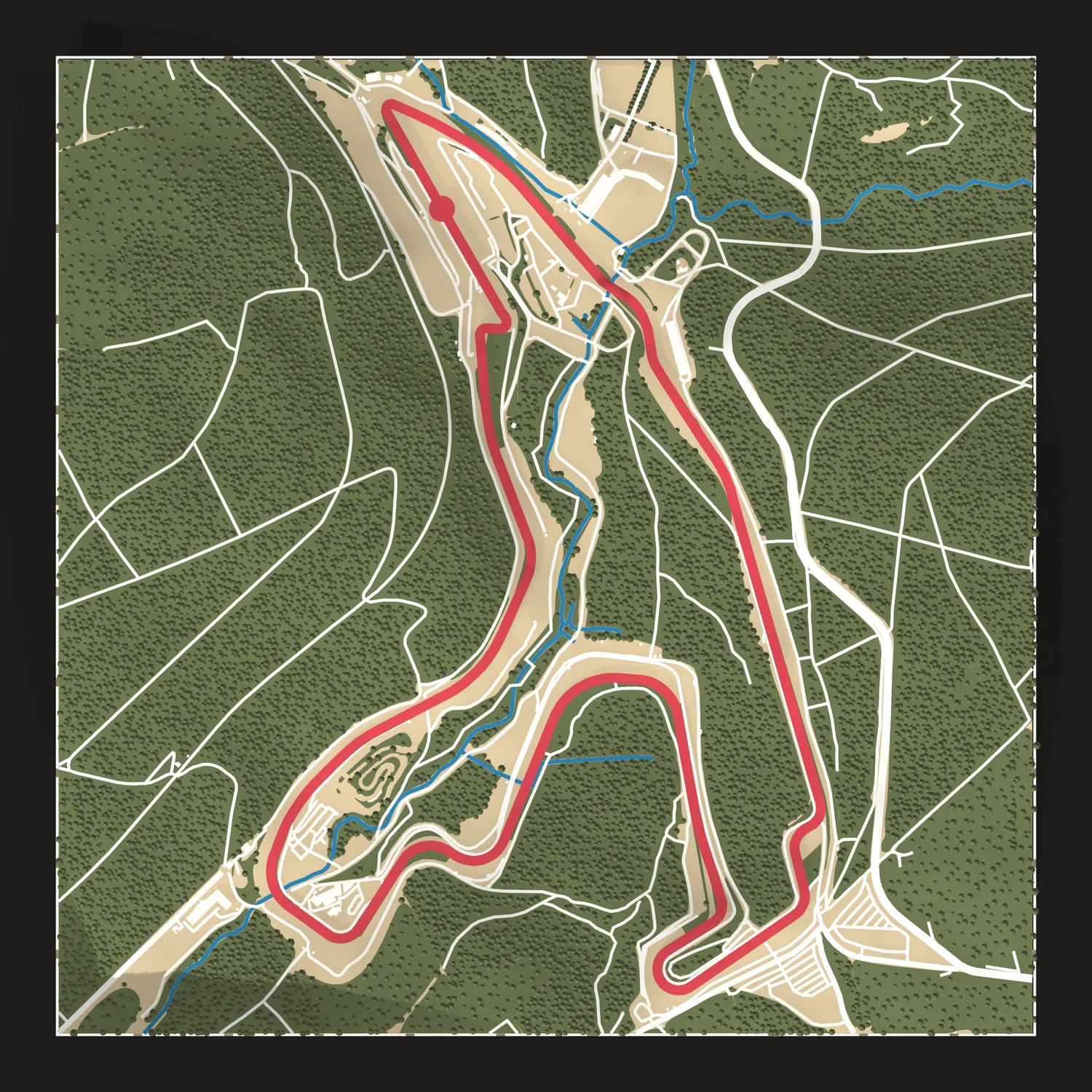
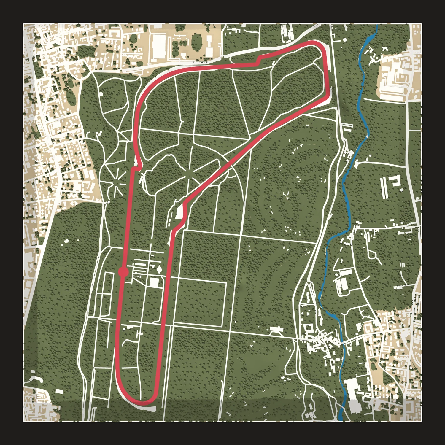
Montreal F1 circuit map
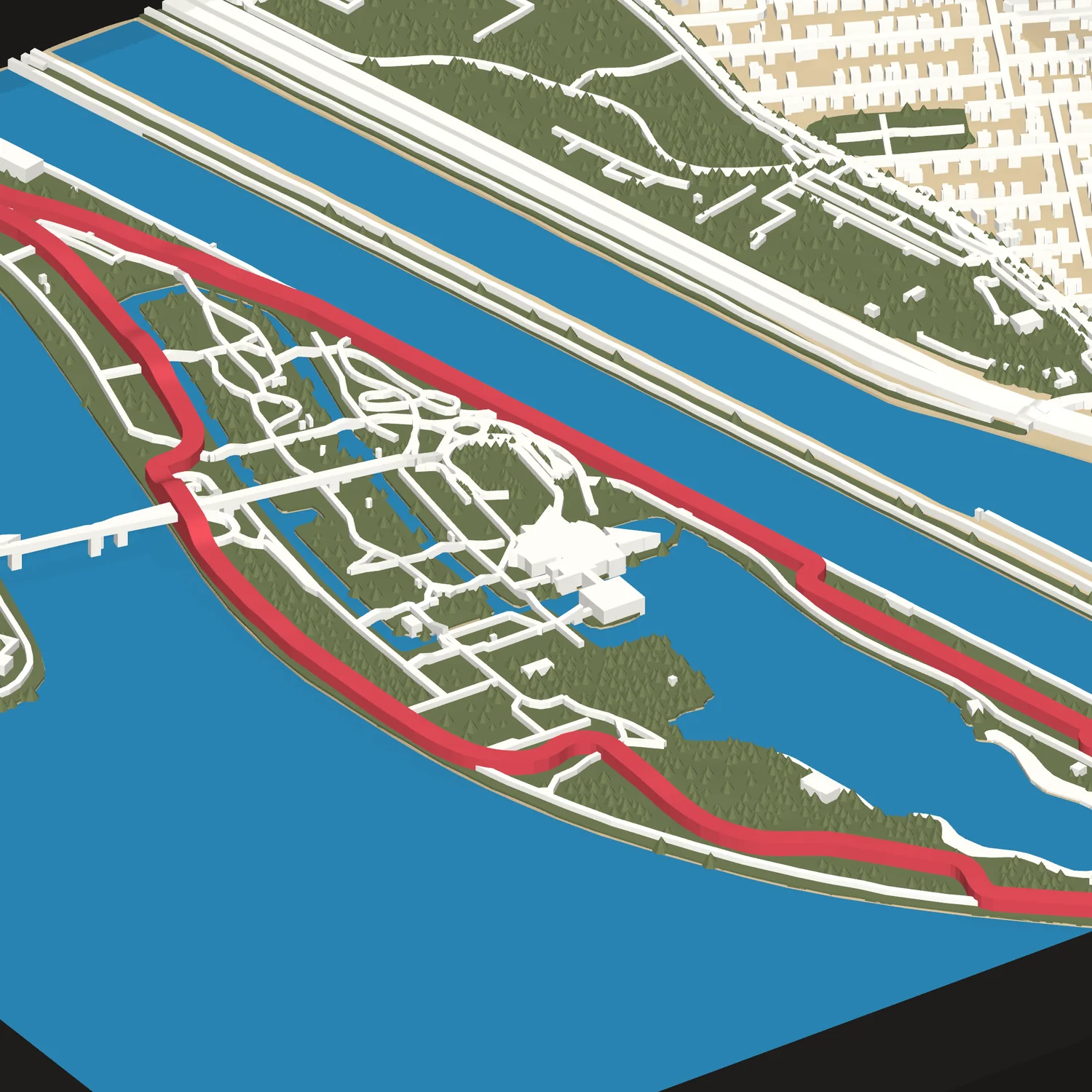
The circuit on Notre Dame Island in the St. Lawrence River, raised in 3D with the lap in red.
Size
Frame
We copy this map's code for you to paste into your Etsy order.
Make it yoursChange the area or colors. We send a proof first.
- Framed in black or white wood, to hang or stand
- About 9¼ or 12 in square in its frame
- Free shipping in the US
The circuit
Circuit Gilles Villeneuve runs clockwise on Notre Dame Island, a man-made island in the St. Lawrence River that was built up for Expo 67 and is now part of Parc Jean-Drapeau. Nearly half the lap runs beside the Olympic Basin, the rowing and canoeing course from the 1976 Summer Olympics. The fast lap has tight chicanes, a hard stop for the hairpin at Turn 10 and the Wall of Champions on the exit of the final chicane. Outside race weekends, cyclists, runners and inline skaters share the track.
- Lap
- 4.361 km
- Corners
- 14
- First F1 race
- 1978
- Direction
- Clockwise
- Size
- 8 × 8 or 11 × 11 in
About 9¼ or 12 in framed - Frame
- Black or white wood, to hang or stand
- Colors
- Map colors, with the route in red
- Proof
- Not needed for this map. Change anything and we send one first.
- Shipping
- Free in the US
Not affiliated with or endorsed by Formula 1 or the City of Montreal. We use the circuit's name only to say which track this map shows.
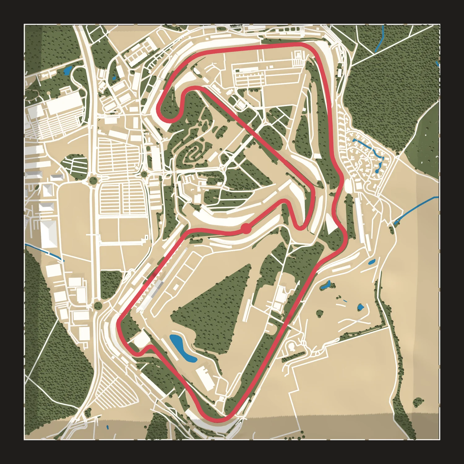
Questions
Can I change it?
Yes. Make it yours opens this map in the designer, where you can move the area or change the colors. We send a proof before we print a changed map.
Why is there no proof?
We've already built and checked this map's print file, so we print exactly what you see here.
Can it be a gift?
Yes. Ship it straight to them; the tile carries no price or receipt.
Anothertrack?
Design any race course in about a minute, or order any circuit on Etsy and we will build it.
Design yours