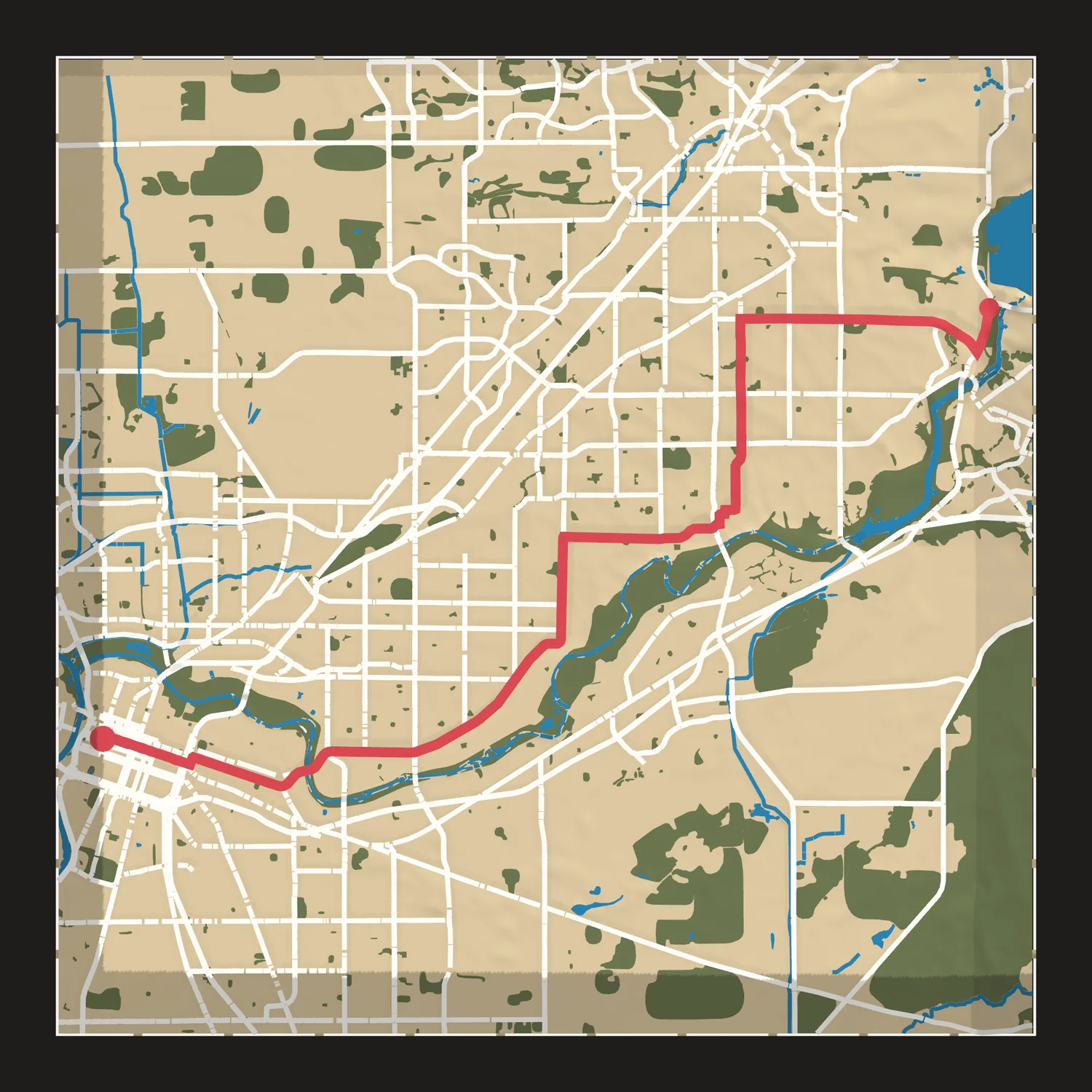
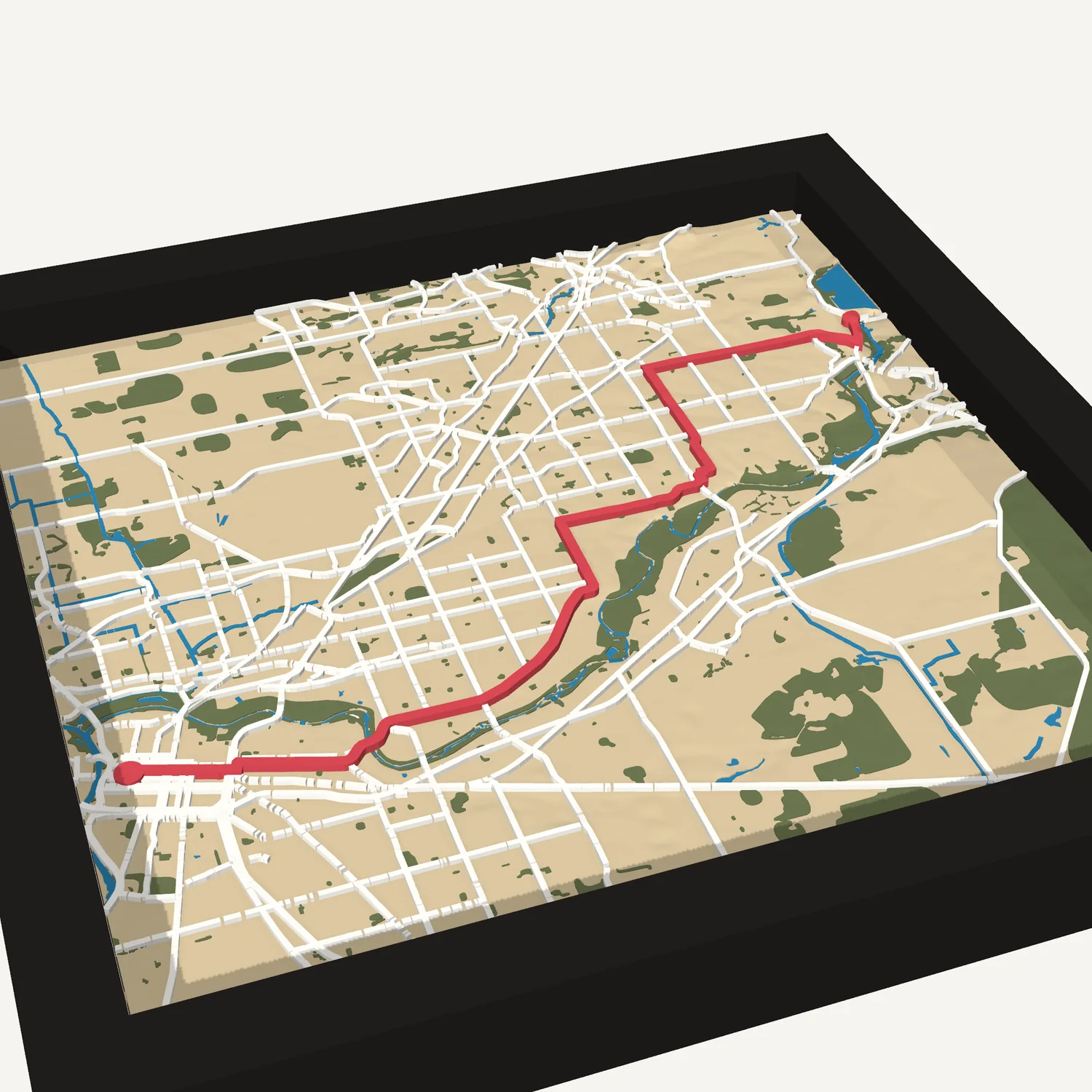
California International Marathon map
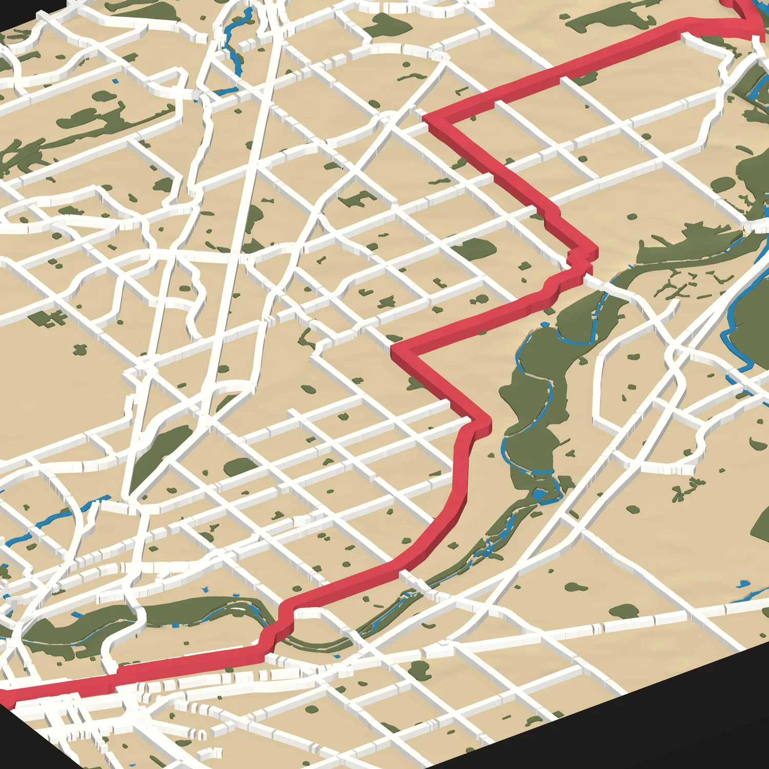
The course from Folsom to the State Capitol in Sacramento, raised in 3D with the route in red.
Size
Frame
We copy this map's code for you to paste into your Etsy order.
Make it yoursChange the area, colors or markers. We send a proof first.
- Framed in black or white wood, to hang or stand
- About 9¼ or 12 in square in its frame
- Free shipping in the US
The course
The California International Marathon runs point to point from Folsom to the State Capitol in Sacramento. It starts on Folsom-Auburn Road near Folsom Dam at 366 feet above sea level and finishes at 26 feet. The route passes through Orangevale, Citrus Heights, Fair Oaks and Carmichael, much of it on Fair Oaks Boulevard. The last miles run west on J Street and L Street to the finish by the Capitol.
- Start
- Folsom-Auburn Road, Folsom
- Finish
- State Capitol, Sacramento
- Distance
- 26.2 miles, point to point
- Elevation
- 366 ft at the start, 26 ft at the finish
- Size
- 8 × 8 or 11 × 11 in
About 9¼ or 12 in framed - Frame
- Black or white wood, to hang or stand
- Colors
- Map colors, with the route in red
- Proof
- Not needed for this map. Change anything and we send one first.
- Shipping
- Free in the US
Not affiliated with or endorsed by the Sacramento Running Association. We use the race's name only to say which course this map shows.
Questions
Can I change it?
Yes. Make it yours opens this map in the designer, where you can move the area, change the colors or add mile markers. We send a proof before we print a changed map.
Why is there no proof?
We've already built and checked this map's print file, so we print exactly what you see here.
Can it be a gift?
Yes. Ship it straight to them; the tile carries no price or receipt.
Ran adifferent race?
Over a hundred courses are ready in the designer. Pick yours and see it in 3D in about a minute.
Design your race tile